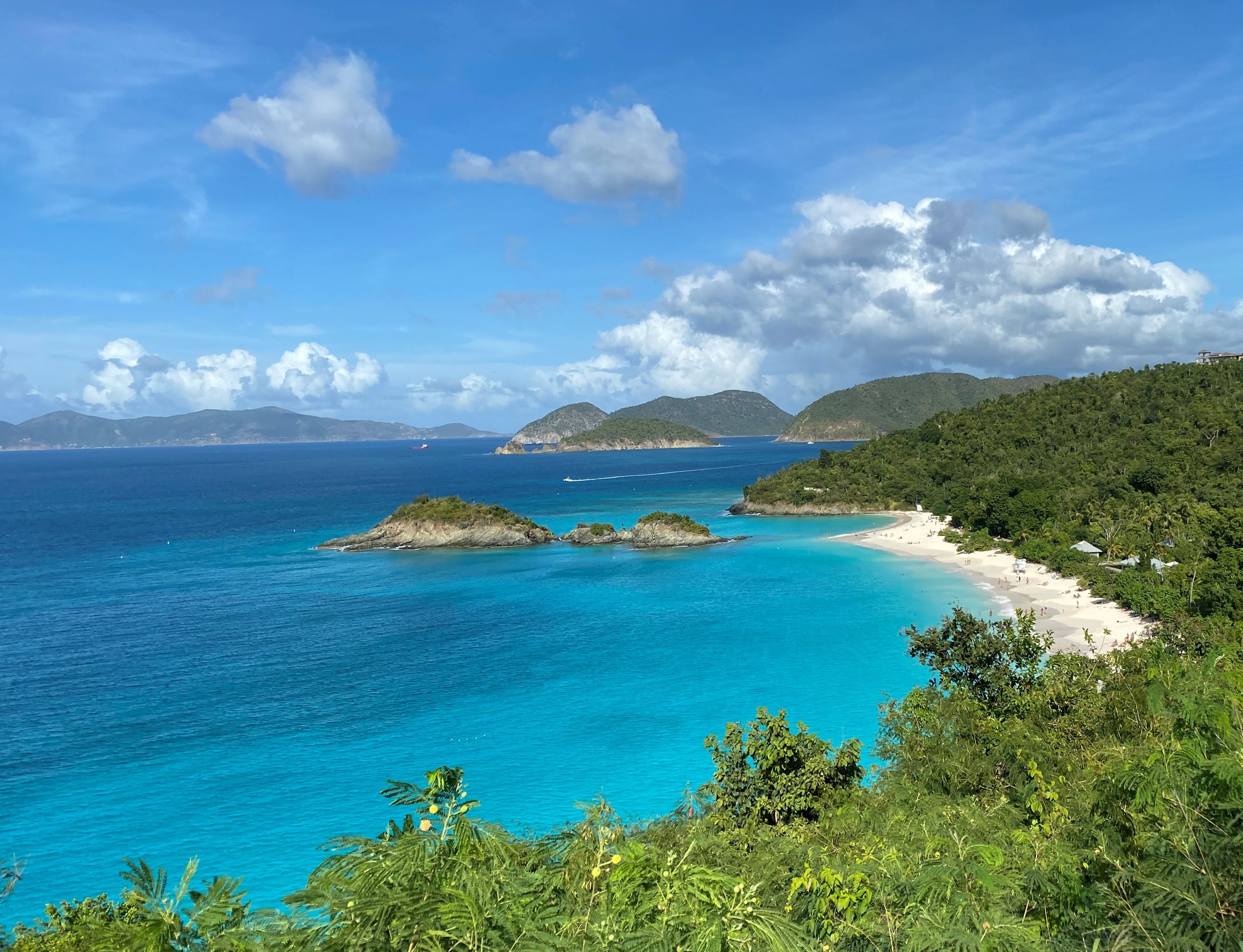
Go beyond Virgin Islands National Park's stunning white-sand beaches. Hike to historic plantation sites to learn about a challenging past when sugar and enslaved labor dominated life on the island. Visit the Indigenous Taino's ancient petroglyphs. Snorkel coral reefs to discover hidden marine life. Two-thirds of the island of St. John is national park, making it a unique destination for visitors.
15.1Kacres of parkland
471.1Krecreation visits, 2025
Jan · Feb · Marnearby climate picks
Seasonal access & reservations
No reviewed guidance for this selection. Check the park's official planning pages; missing coverage does not establish access.
Selected guidance only; separate from climate comfort and current conditions.
Official conditions Not checked
The conditions feed has not been connected for this park.
Editorial recommendations, reviewed 2026-10-17. Full park days, excluding travel to and from the region. A first-visit outline for a general traveler; adapt to mobility, fitness, season, reservations, and current conditions. These are suggested days, not reserved activities or guaranteed routes.
The Reef Bay Hike is a STRENUOUS hike. There is NO PARKING for program participants at the Visitor Center. This is an interpretive guided hike that will explore the history and culture of St. John including a visit to the petroglyph site sacred to the indigenous Taino people. Stacked stone walls and the remains of a sugar plantations and factory facilitate a group discussion about the history of the people of St. John and the Caribbean spanning approximately 1,000 years. The Reef Bay Guided Hike is just under 3 miles one way; under some of the oldest and tallest trees on the island. It is a strenuous hike in a remote location over uneven and rocky terrain. Be sure to bring your sturdy walking shoes, plenty of water (2-3 liters), lunch, and mineral based sunscreen. A beautiful 40-minute boat cruise will return us to the dock at Cruz Bay. Check-in is at the Visitor Center begin at 07:45AM. There is no parking for program participants at the Visitor Center. NOTE: It is rare, but water conditions, weather, medical emergency, or other factors may prevent the boat from picking up hikers, requiring a trek back up to the trailhead. If you are not able to hike the described terrain round trip, approximately 6 miles , you should NOT register for this guided hike. This guided hike is a collaboration between Virgin Islands National Park and Friends of Virgin Islands National Park. There is a fee associated with this activity and reservations can be made here. Cancellation Policy: Customers who have paid for an event, seminar or hike will receive a 50% refund or credit with 48 hours’ notice of cancellation. They will receive a full refund or credit in case of cancellation due to weather or other unforeseen circumstances. No-shows or cancellations within 48 hours will not be refunded
Ram Head Guided Hike
Night Sky in the Park
Friends of Virgin Islands National Park
Our partner organization, The Friends of Virgin Islands National Park, offers both official Events & Seminars in addition to Campground Chats at Cinnamon Bay Beach & Campground . These include hikes, cultural seminars and demostrations, nature and turtle talks, boat trips and more. To learn more about the seminar series visit the Friends of Virgin Islands National Park website.
Safari bus (taxi) drivers offer two-hour or three-hour guided tours of the island, including the park. These tours usually begin and end at the public ferry dock in Cruz Bay. They stop at overlooks for panoramic views of beaches and surrounding hillsides and at remnants of Annaberg and other sugar plantations.
Virgin Islands National Park includes much of the water and sea floor surrounding St. John. If you are visiting by boat or operating a vessel in National Park waters, please familiarize yourself with the policies and regulations about these marine resources. This map provides you with an interactive way to familiarize yourself with the resources. You can also view the Superintendent's Compendium for detailed information.
When visiting the marine environment of the Virgin Islands, many visitors have questions such as:
Where is the best snorkeling ?
Where anchoring is permitted?
Are there areas to avoid in a boat?
What size boat can use the moorings , and what do the different colors mean?
How much and where are mooring fees paid?
By placing a check in the legend box in the map below, park visitors are provided with the answers to these questions (and more) and are shown locations for safe and fun snorkeling, diving and boating in the park. To enter fullscreen mode, click on . If you are accessing the map from within the Park or Monument, click on to find your location on the map.
Layer
Description
Anchoring
Anchoring permitted in either of two designated anchorages: offshore Francis Bay and Lind Point. Click on the features to see the areas and learn what size vessels can anchor in what areas within Virgin Islands National Park. In all cases, when dropping an anchor in an allowable anchorage, no part of the anchor or chain can be in contact with coral. "Look below before you throw." All anchors must be dropped only in sand. If you are not positive that you are dropping your anchor in sand, DO NOT DROP THE ANCHOR. Vessels over 210 feet length overall (LOA) are prohibited from anchoring in the park.
Avoid Areas
The operator of a boat needs to be aware of surroundings to avoid damage to the marine life, boat, and people. This layer shows the location of swim areas - boats are prohibited from operation in these areas. It also shows the location of Johnson's Reef, a shallow reef on the northshore. Boats need to operate outside the markers which outline this reef.
Beach Access
These are the locations of beach access channels. These are pathways for small vessels to access a few beaches. Vessels under sail or motor less than 26' LOA may access beaches inside Boat Exclusion Areas where beach access channels have been provided. A red and green buoy designates these channels. Vessels under sail or motor must stay inside these channels. Vessels that can be pulled completely out of the water may be kept on the beach while the occupants are using the beach, all other vessels must immediately leave the boat exclusion area after picking up or dropping off passengers.
Boundaries
This layer shows the location of park boundaries as well as areas within park boundaries where anchoring is permitted.
Fee Pay Stations
There is a self-registration fee of $26.00 per overnight for anchoring or mooring between the hours of 5:00 p.m. and 7:00 a.m. Golden Age/Access Passport holders pay half price. Overnight fees must be paid prior to spending the night. Overnight stays in the Park waters are limited to 30 nights in a particular calendar year, and no more than seven consecutive nights in one bay. Payments are deposited in an envelope (found at this station) within this floating pay station. Floating Fee Stations are found at Leinster Bay, Francis Bay and Caneel Bay. Land-based fee stations are found Cruz Bay Visitor Center (near the flag pole), Salt Pond Beach and on the VIERS dock in Lameshur Bay.
Snorkeling Areas
Over 40% of Virgin Islands National Park is underwater. Mangrove shorelines, seagrass beds, fringing and patch reefs offer an ample and diverse array of snorkeling opportunities. However, defining the "best" is highly subjective, based on factors such as individual snorkeling - swimming abilities, water and wind conditions and the marine life particular to a given site. This guide describes a variety of potential snorkeling areas so that you can determine what's best for your own interest and expertise. It highlights areas easily accessed by road or trail and is not intended to be a comprehensive guide to all St. John snorkeling spots. The information in this section comes from the Virgin Islands National Park pamphlet of the same name, by Virgin Islands National Park Interpretative Ranger Don Near.
Visitor Center Area
The NPS visitor center is located in Cruz Bay. It is open from 9:00 a.m. to 1:30 p.m., Monday-Friday, except closed Christmas day. Telephone: 340-776-6201. Men's and women's bathrooms are available as well as a dinghy area, 3 hour daytime anchorage and sea plane ramp.
Visitors are encouraged to use the recreation.gov mobile app to pay overnight mooring fees. You can download the mobile app by scanning the QR code to the right. Once you've downloaded the app, you can scan the QR codes which are located at each of the overnight mooring pay stations that are located throughout the park. For more information on the locations of pay stations, please see our Interactive Marine Map . Additionally, recreation.gov is your gateway to explore America.The recreation.gov app makes it easy to:
Book a weekend getaway or plan a cross-country road trip
Find and reserve thousands of campsites
Register for permits, tickets and lotteries
Review details of past and upcoming trips
This video will walk you through the process of paying overnight mooring fees with the rec.gov mobile app.
Safe and Legal Use of NPS Mooring Systems and Designated Anchorages
This video contains all the most important information mariners need to know about using the mooring systems in Virgin Islands National Park and Virgin Islands Coral Reef National Monument.
This video contains all the most important information mariners need to know about anchoring in Virgin Island National Park and Virgin Islands Coral Reef National Monument.
Interactive Marine Users Map
Use the Interactive Marine Map for hands-on boating information in Virgin Islands National Park and Virgin Islands Coral Reef National Monument. Use the checkboxes in legend located in the bottom right corner to toggle on or off the marine features you're interested in locating.
Virgin Islands Department of Planning and Natural Resources Fishing Guide.
Fishing or take of any kind in the Coral Reef National Monument
Striking coral, damage to the mangroves, sea grass or any natural resources.
Taking of Nassau Grouper and or Goliath Grouper
Spear fishing. Spear fishing equipment must be broken down for transit through NPS or Monument waters.
Fishing from any moorings except Cabritte Horn designated fishing moorings
Fishing within Boat Exclusion areas or mooring fields.
Fishing between 8:00am and 5:00 pm at the NPS Redhook dock, Cruz Bay finger pier or bulkhead.
Commercial fishing, including day charters.
Fish traps of non-traditional West Indian design. Fish traps must be of traditional West Indian design, with biodegradable door, and be tagged and registered in accordance with Department of Planning and Natural Resources (DPNR) policy.
Use of soldier/hermit crabs and undersized, or out of season, whelks for bait.
Please note: if heading to Coral Reef National Monument Fishing or take of any kind is prohibited, except by NPS issued permit for use only on designated fishing moorings.
Species
Open
Closed
Description
Nassau & Goliath Groupers
Prohibited
All year
NPS &Territorial waters
Blue Runner,Mackerel, Tuna & Bonitos (permit required)
January 1 - September 30
October 1 - December 31
Only when on Cabritte Horn fishing moorings
Bait fish (permit required)
Hurricane Hole
3 gallons per person per day
Conch
November 1– May 31 per year
Minimum size 9" long. Max allowed is two per person per day
Whelk
October - March 31 per year
Minimum size 2-7/16" diameter. Max allowed is 1 gallon per person per day in shells.
Caribbean Spiny Lobster
All Year
Minimum size 3.5" carapace, No females with eggs, by hand or snare only, Max allowed 2 per person per day.
Blackfin, Black, Vermilion, & Silk Snapper
January 1 - September 30
October 1 - December 31
NPS &Territorial waters
Yellowedge, yellowfin, & Tiger Groupers
May 1 - January 31
February 1 - April 30
NPS & Territorial waters
Mutton & Lane Snappers
July 1 - March 31
April 1 - June 30
NPS &Territorial waters
Tarpon & bonefishing
Restricted to Catch & Release with hook and line only
Enjoy the Beautiful Waters of Virgin Islands National Park
Where's the Best Snorkeling?
Beaches Within Virgin Islands National Park
Photo courtesy Parnicza/NPS
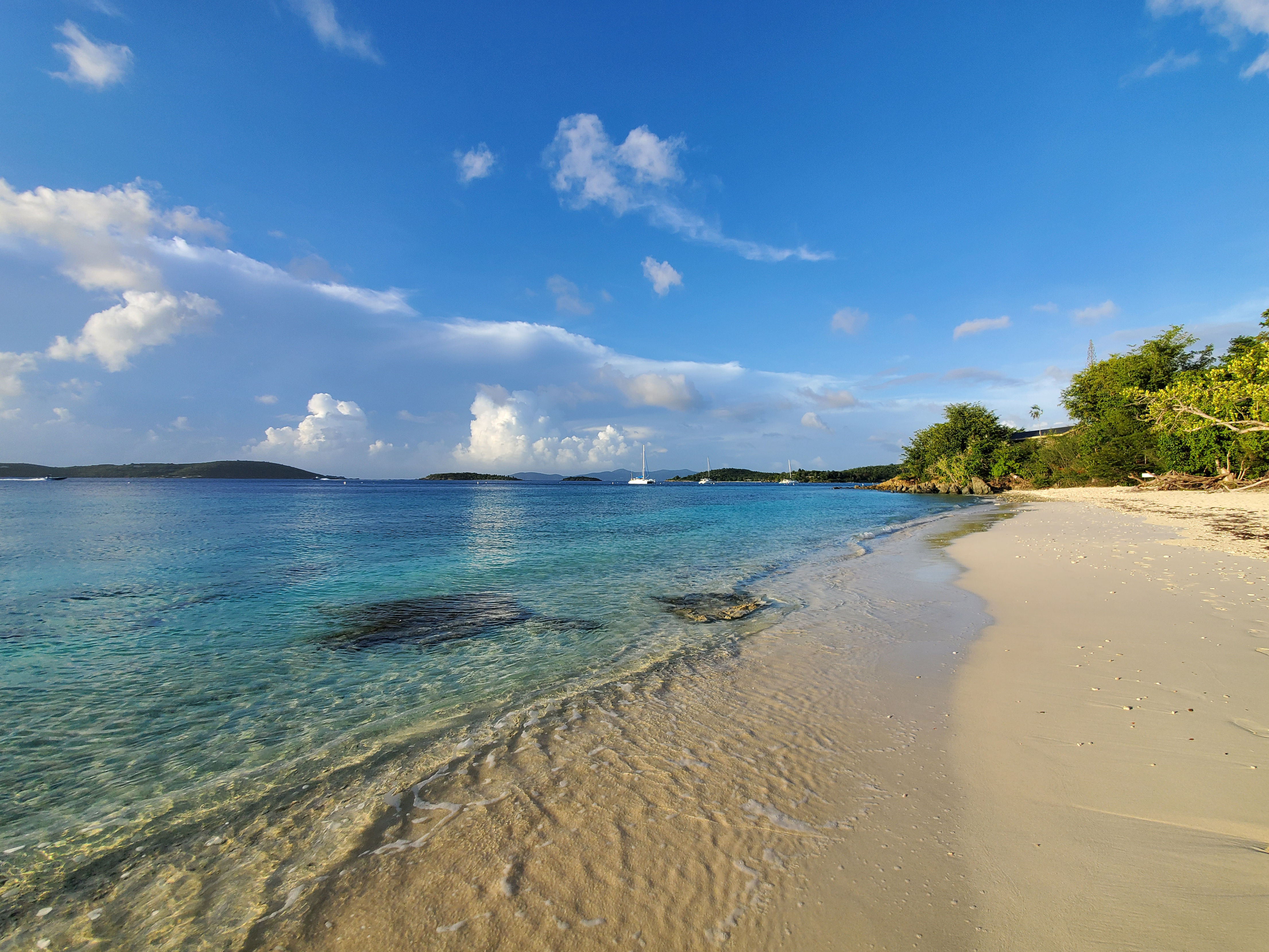
Salomon/Honeymoon Bay, two white-sand beaches, can be accessed by a short hike from the Virgin Islands National Park sign off North Shore Road, Caneel Bay or by boat. A narrow reef follows the shoreline east of Honeymoon to Caneel Bay. In the clear water off the rocky point in between the two beaches, you will find several species of coral (brain, lettuce leaf, elkhorn, mustard hill, and pillar corals). Many colonies of finger coral can be found on the fringing reef west of Salomon. These reef areas provide shelter for a wide variety of colorful fish and other marine creatures.
Photo courtesy of Caroline Rogers/NPS
Photo by Parnicza/NPS
North and South Haulover bays are unique as there two bays: one bay on the north shore and one on the south. Both are pebble beaches with little sand. There is some parking along the road. For the south side, just walk across the street. The rocky shoreline transitions into boulders and coral as you head out either side of the bay. You will find a wide variety of fish and other creatures in these areas.
To reach the north shore follow the short trail on the north side of the road. Other ways to help protect coral reefs.
Official NPS features and USGS park boundaries, imported 2026-10-17. An inventory snapshot, not live trail or parking availability.
Loading official park features…
TrailsPoints of interestParkingZoom with buttons or pinch. Toggle layers on the map.
Map coverage varies. Trail names may represent segments, connectors, or shared park units; mapped lines are not a hiking recommendation. Use official conditions and navigation resources before heading out.
Lind Point Trail Inventory record · 4 source segments; not a route distance.
Unknown
Hiker/Pedestrian
Page 1 of 2
NPS public GIS inventory, imported 2026-10-17. “Existing” is an inventory classification, not confirmation that a trail is open. Segment counts are not route distances. Parking records do not indicate space availability, fees, or accessibility certification. View government source ↗
Climate for Road Town, 16 km from the park reference point. 1991–2020 normals. Source elevation: 9 m.
Daytime highNighttime lowOctober: 82° / 79°
Daytime high82°
Precipitation126 mm
Daylight11.6 hrs
Wind20.3 km/h
Mountain, rim, valley, and coastal conditions can differ sharply from the source town. Check park forecasts and current conditions before travel.
Monthly climate data 12 months · °F
Month
High
Low
Rain / snow water
Wet days
Daylight
78°
76°
28 mm
8.8
11.0 h
77°
75°
20 mm
6.7
11.4 h
78°
76°
21 mm
6.0
11.9 h
78°
76°
34 mm
7.5
12.4 h
80°
78°
72 mm
12.6
12.9 h
82°
79°
54 mm
11.5
13.1 h
82°
80°
76 mm
14.7
13.0 h
82°
80°
94 mm
16.1
12.6 h
83°
80°
122 mm
17.0
12.1 h
82°
79°
126 mm
17.1
11.6 h
81°
78°
117 mm
15.9
11.1 h
79°
77°
46 mm
10.9
10.9 h
RESEARCH WITH THE SOURCE IN VIEW
The practical field guide.
Official NPS excerpts imported 2026-10-17. Fees, permits, road access, and operations can change; use the source link to confirm the latest information.
Virgin Islands National Park is comprised of 7,259 acres of terrestrial habitat, which is about 60%, of the island's land mass. The park also includes 5,650 acres of adjacent submerged lands. The park owns the ridge tops to the reefs providing protection and preservation for tropical and migrating birds, fish, corals and other marine life, as well as some 800 species of plants.
This park is open every day! Check our Operating Hours and Seasons page for the up-to-date visitor center hours and offerings. Plan like a Ranger! Find answers to Frequently Asked Questions here.
Remember Drive on the Left & Walk on the Right
We drive on the left here in the Virgin Islands. Pay extra attention when making turns, pulling out into traffic or crossing the road. When walking on the side of the road please walk facing traffic which would be the right side of the road.
Camping within Virgin Islands National Park is permitted only by reservation in designated camping locations at Cinnamon Bay Beach and Campground. Cinnamon Bay Beach & Campground Cinnamon Bay Beach and Campground is accepting reservations! Visit Cinnamon Bay Beach and Campround's official website to make reservations and see available amenities. After a long closure due to hurricane recovery and rebuilding damaged infrastructure, the campground reopened on January 22, 2022. The management of Cinnamon Bay Beach & Campground, which includes the food and beverage concessions at Trunk Bay Beach, transitioned to a new concessions operator, CinnOpCo, LLC, in May 2019. Visitors can email Cinnamon Bay at info@cinnamonbayvi.com, call at 340-714-7144, or contact Park Concessions Specialist Elba Richardson, by phone at 340-776-6201 ext. 221 or via email at e-mail us with questions and concerns.
Cinnamon Bay Nature Loop and Accessible Boardwalk
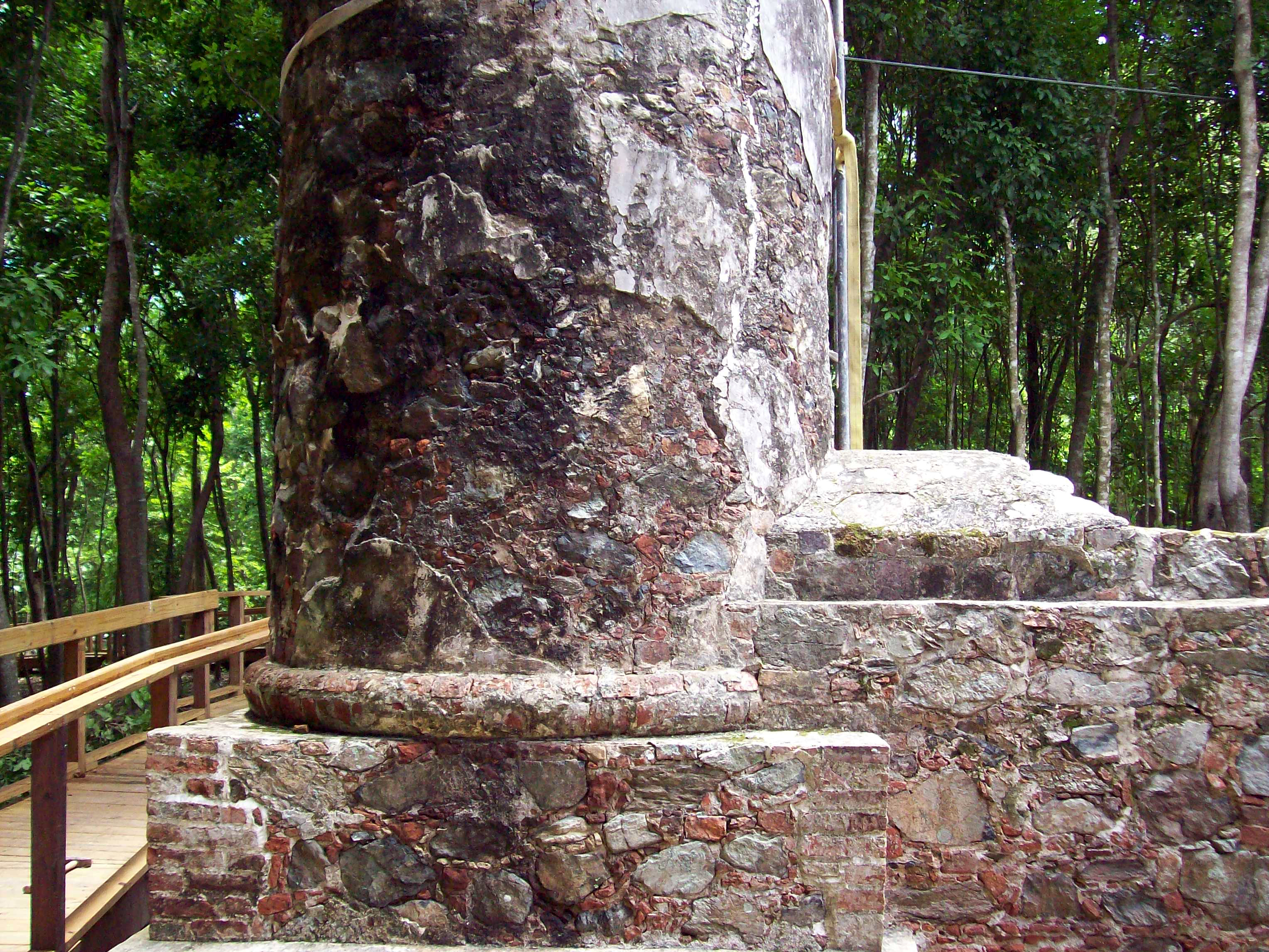
Meander through the ruins of the historic Cinnamon Bay Sugar Plantation. Smell the scent of the leaves from the bay rum trees , which were once used to make the famous St John Bay Rum Cologne. The boardwalk and nature loop are located across the road from the entrance to the Cinnamon Bay Resort and Campground. The nature loop is an easy 0.5 mile hike.
Cinnamon Bay offers a long gently sloping snow white beach to stick your toes in, or go for a leisurely stroll. The crystal clear waters provide many delights for even a novice snorkeler. Turtles and fish of all sizes and colors can be seen here. Near the Cinnamon Bay Cay there is an underwater fish holding pen probably made by the Taino or their ancestors. There is even a submerged historic village and a sunken plane from 1940s to see. Spend a couple of hours trying to find them.
The visitor center for Virgin Islands National Park and Virgin Islands Coral Reef National Monument is located in Cruz Bay. There is a wheelchair-accessible entrance, parking, and restrooms.
Beach access ramps can be washed out and inaccessible during storms and high swell events.
Trunk Beach has beach wheelchairs, wheelchair-accessible parking, restrooms, changing rooms and accessible paths to water.
Hawksnest Beach has wheelchair-accessible parking, restrooms, changing rooms, and accessible paths to water.
Photo courtesy of Parnicza/NPS.
Cinnamon Bay Self-Guided Trail offers a wheelchair-accessible boardwalk which winds through the historic ruins. The entrance is located across from the exit gate of Cinnamon Bay Beach and Campground .
Francis Bay Boardwalk offers a wheelchair accessible boardwalk to a beautiful salt pond, perfect for bird viewing.
Annaberg Plantation features a wheelchair accessible path which meanders throughout the ruins.
An entrance pass is not required to access Virgin Islands National Park.
Other National Park Service sites may require an entrance pass or fee. Depending on your trip plans, an interagency pass may save you money.
2026 Free Entrance Days in the National Parks
Come experience the national parks! All National Park Service sites that charge an entrance fee will offer free admission to US citizens and residents (other fees, including timed entry or reservation fees, may apply). Mark your calendar for these entrance fee-free dates:
February 16 : Presidents Day (Washington's Birthday)
May 25 : Memorial Day
June 14: Flag Day/President Trump's birthday
July 3–5: Independence Day weekend
August 25: 110th Birthday of the National Park Service
September 17: Constitution Day
October 27 : Theodore Roosevelt's birthday
November 11: Veterans Day
Expanded Amenity Recreation Fees
There are no entrance fees for either Virgin Islands National Park or Virgin Islands Coral Reef National Monument. However, visitors to Trunk Bay are required to pay an Expanded Amenity Recreation Fee, per the table below:
Trunk Bay Expanded Amenity Recreation Fees
Individual Day Pass (16 years and older)*
Interagency Senior Pass
$2.50 for holder
Interagency Access Pass
*Individual Day Passes for Trunk Bay can only be purchased at the fee booth at Trunk Bay or online at recreation.gov .
Overnight mooring fees must be paid prior to spending the night. Overnight stays are limited to 7 nights per bay and no more than 30 nights per year. Payment stations can be found at the following locations: Cruz Bay Finger Pier, Caneel Bay, Francis Bay, Leinster Bay, Saltpond Bay, and Great Lameshur Bay.
Overnight Mooring & Anchoring
Regular overnight fee
Senior/Access Pass
Payment Instructions 1- Ensure the mooring space you intend to use is available. 2- Open the Recreation.gov app on your mobile device and sign-in. 3- Click the "scan" icon in the bottom menu options. (If prompted, allow camera access.) 4- Scan this QR code and follow the on-screen instructions. Enter campsite number 10214380 5- Fill in the proof of payment slip and deposit in iron ranger. For more information on moorings, boating, and best places to snorkel visit the Marine Visitor Use page.
National Parks and Federal Recreational Lands Passes
Federal Lands Passes can also be purchased at the fee booth at Trunk Bay or at the Cruz Bay Visitor Center.
National Park Service Passes
Interagency Access Pass (Disability)
Military Active Duty Pass
Annual Fourth Grade Pass for US students
Interagency Annual Senior Pass
Interagency Lifetime Senior Pass
*A new program that provides free access for US military veterans and Gold Star Family members took effect in fall 2020 as a way to thank them for their support of our country and to encourage them to explore recreational opportunities on their public lands and waters. Find detailed information about who qualifies, acceptable forms of identification, and how to download a Gold Star Family voucher. Cash payments for passes are accepted at Trunk Bay, but credit card payments are preferred. The Cruz Bay Visitor Center can only accept credit card payments.
There is so much to see and do in Virgin Islands National Park both on land and in park waters, and we want you to have the best experience possible. This page is here to inform visitors of potential hazards they might encounter in the park. Despite the fact that we don't have dangerous animals like lions, bears, alligators or snakes in our park, there are a few things that you should be aware of including poisonous plants, hazardous marine life, and potentially dangerous roads.
The following tips are here to help you have a safe and enjoyable visit.
Do not leave valuables unattended.
Flag or Surf Conditions
Water Sports Equipment Rentals at Trunk Bay and Cinnamon Bay Beach will not be available.
Trunk Bay Bar and Beach Shop - Will open on a reduced schedule from 10:00 a.m. to 4:00 p.m. (minimum hours)
Trunk Bay Snack Shack - Will open on a reduced schedule from 10:00 a.m. to 2:00 p.m. (minimum hours) to accommodate any visitors going to Trunk for lunch.
A service animal is one that is specifically trained to aid a person with a disability. * Service animals are welcome in the park but must follow many of the pet rules. * Service animals must be on a leash and under control at all times. * Pet owners are responsible for removing pet waste appropriately. 36CFR 2.15 (a)(5) If you have any other questions about pets in the park please feel free to call the park 340-776-6201 or find a Ranger and ask them!!
The official page did not return a usable snapshot. Use the source link or the park website to find the current guide.
A FEW REASONS TO GO
A closer look.
11 official park photos
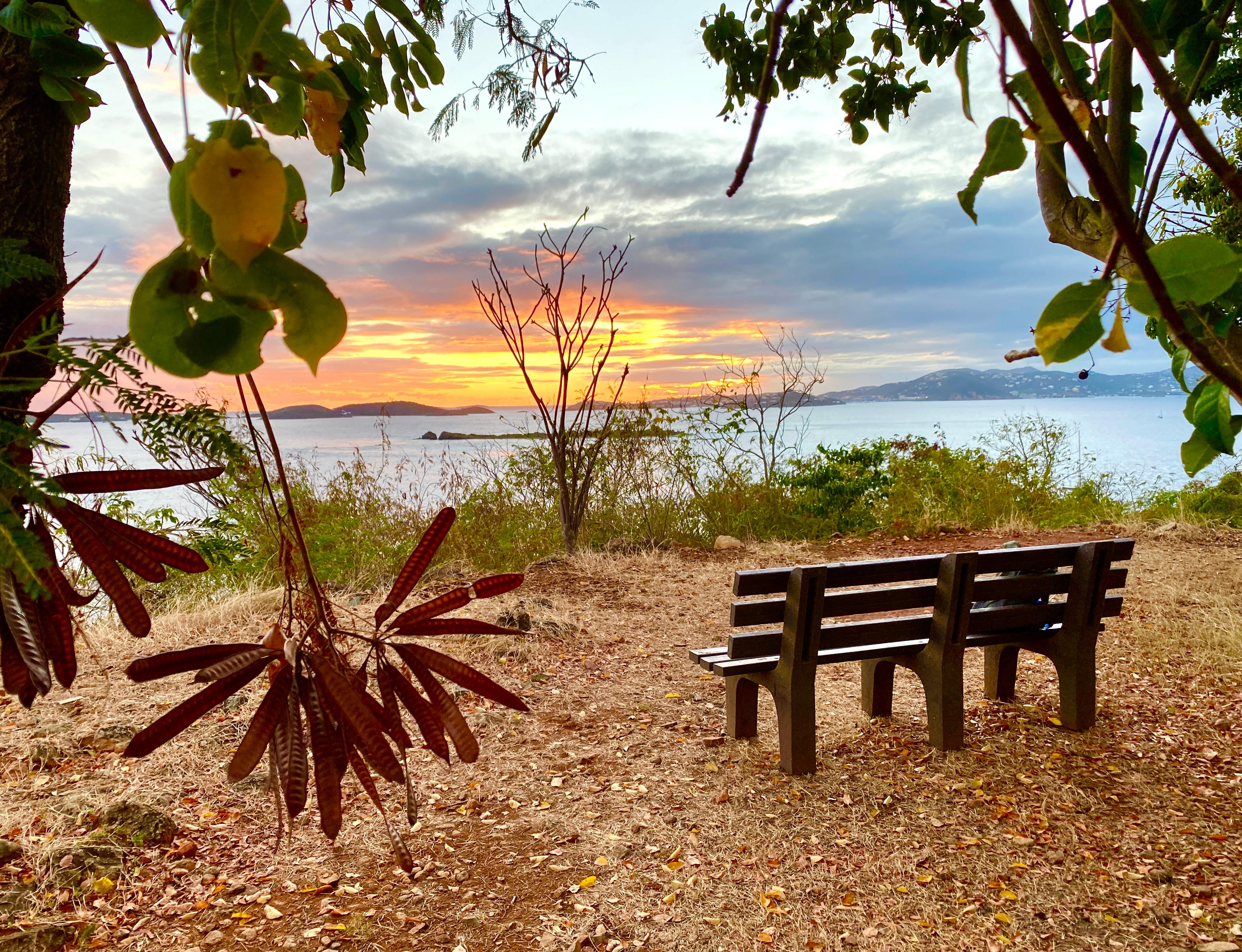
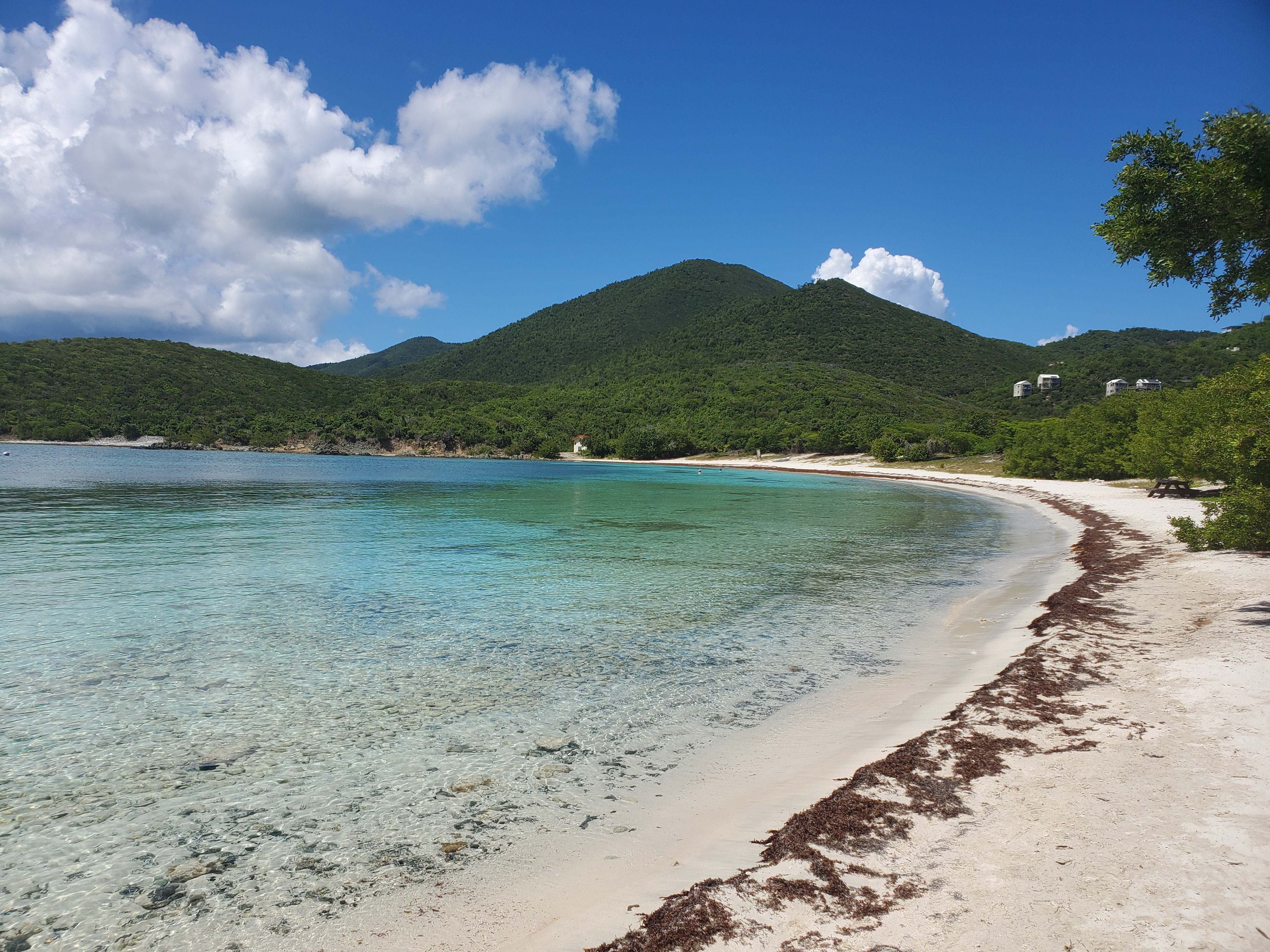
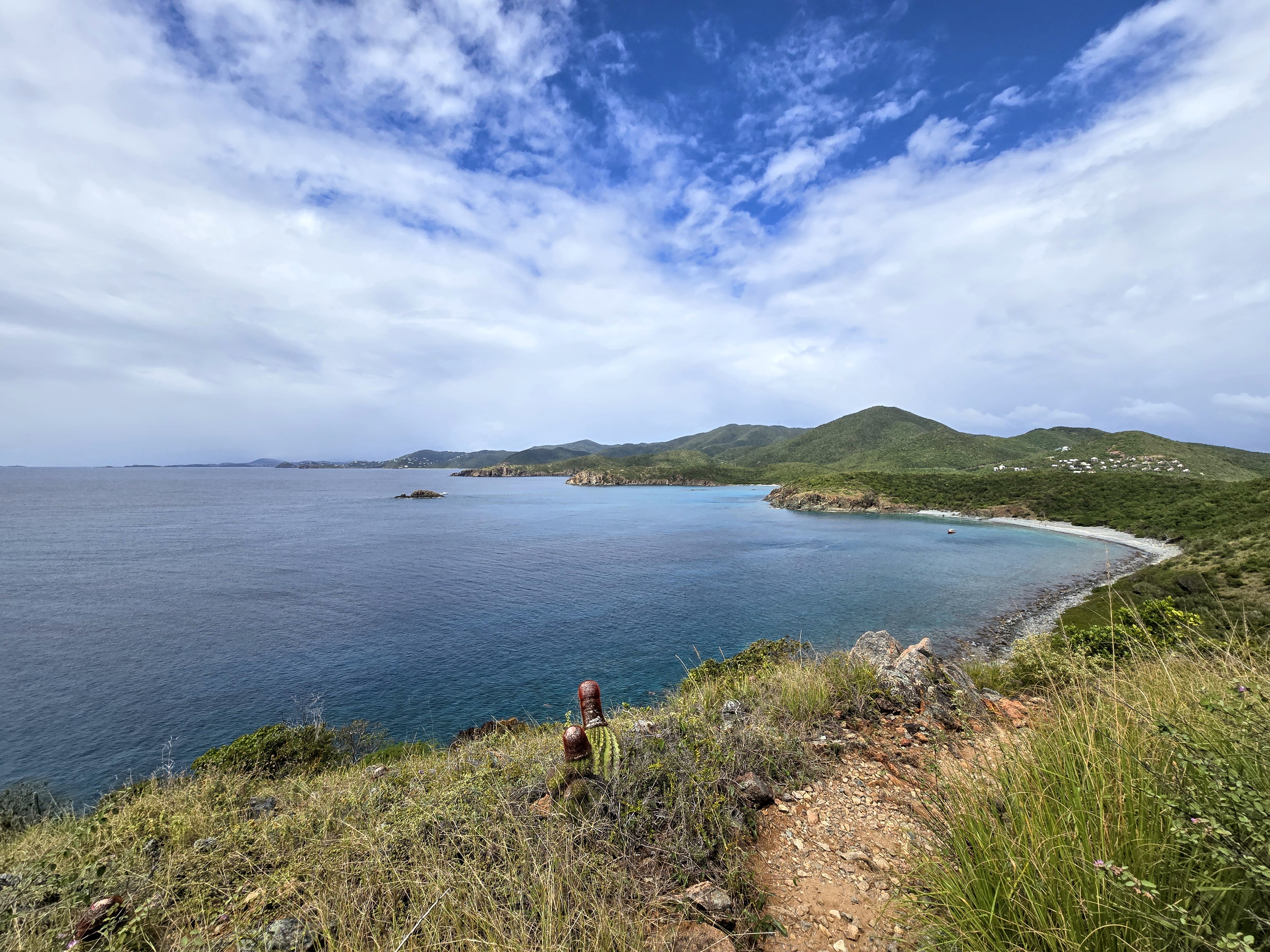
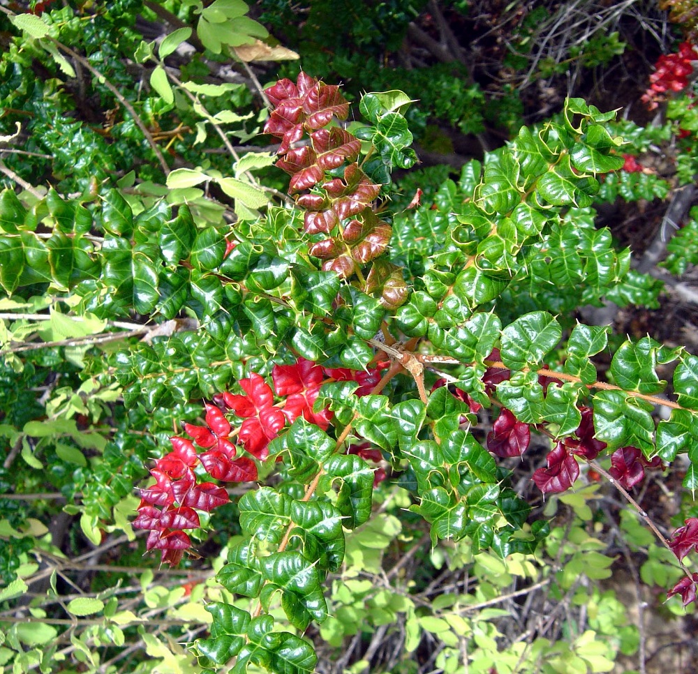
Renowned for its beauty, Trunk Bay is a visitor favorite.NPS Photo Images link to the original government source.Lind Point Overlook is a perfect spot to enjoy a Virgin Islands sunset.NPS Photo Cinnamon boardwalk is wheelchair accessible, providing access to visitors with mobility issues to explore the ruins of Cinnamon Bay Plantation.NPS Photo. The white sand and crystal clear water of Salomon Bay are pictured under a blue sky streaked with soft white clouds.Photo courtesy Parnicza/NPS The calm, crystal clear water of Salt Pond Bay laps up against the white sand beach as the green rolling hills of St. John stretch off into the distance below blue skies and puffy white clouds.Photo by Parnicza/NPS Learn about the meaningful history of Ram Head.NPS Photo The Sombrero Galaxy photographed from Cinnamon Bay Beach.NPS photo A Nassau Grouper with dark and light green striped scales rests on the gray rocky sea bottom.NPS photo A long-spined sea urchin clings to the seafloor in Virgin Islands National ParkNPS Photo. A jellyfish drifts above the rocky seafloor.NPS Photo. The leaves of Christmas bush (Comocladia dodonaea) spread into sunny areas such as trails throughout the park.NPS Photo.
Look closer at accessibility.
No structured outing assessments have been reviewed for this park yet. Check the official accessibility guide for your requirements.
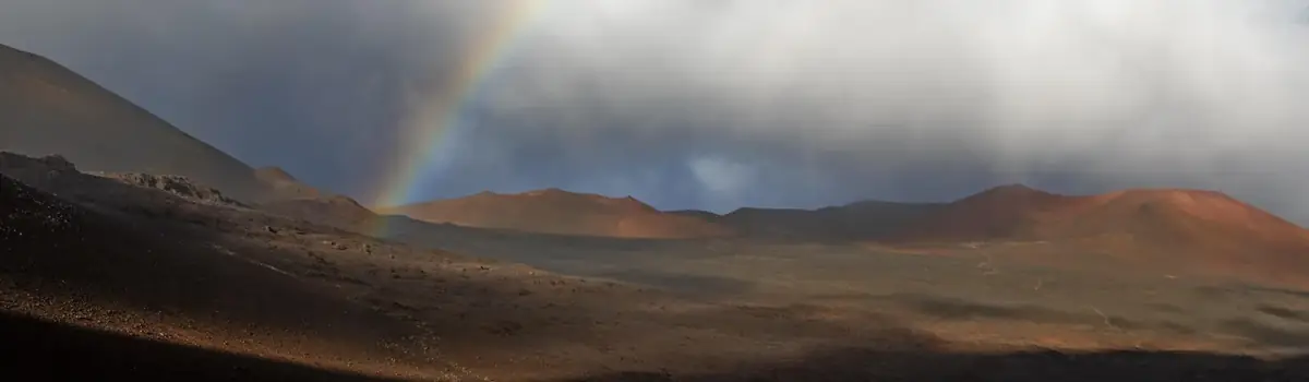
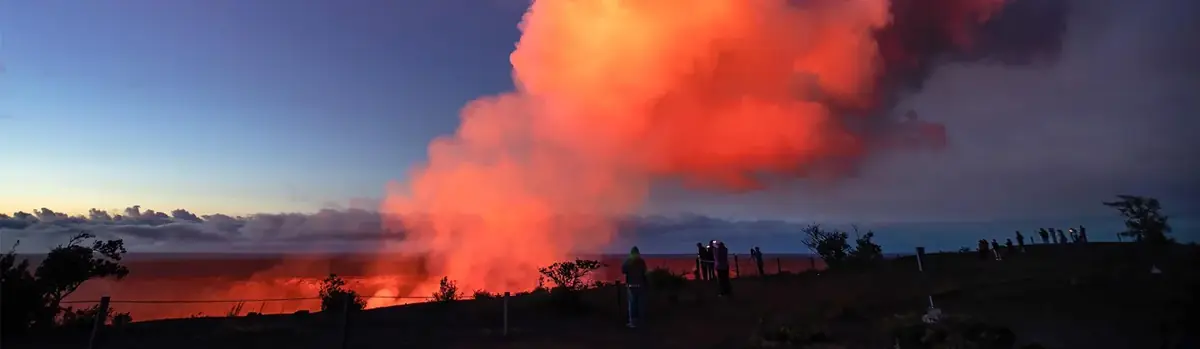
Hawai‘i Volcanoes National Park protects some of the most unique geological, biological, and cherished cultural landscapes in the world. Extending from sea level to 13,680 feet, the park encompasses the summits of two of the world's most active volcanoes - Kīlauea and Mauna Loa - and is a designated International Biosphere Reserve and UNESCO World Heritage Site.
This special place vibrates with stories of ancient and modern Hawaiian culture and protects the bond between the land and its people. The park also cares for endangered species, some of which exist nowhere else. Come visit this special place - renew your spirit amid stark volcanic landscapes and sub-tropical rain forest with an unforgettable hike through the backcountry.
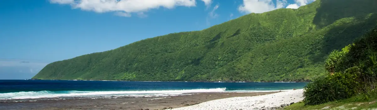
The National Park of American Samoa invites you to discover the vibrant culture and stunning landscapes of the South Pacific. Experience a world unlike any other, where natural beauty and cultural heritage are protected for future generations. Join us in exploring these islands of sacred earth!


 Volcanic